
The vast majority of activities in the public sector have a geographic dimension. Tasks may relate to people with an address, to an element of infrastructure or to a resource with a specific location. Spatial approaches to solving tasks allow the compilation of information from one or more sectors by using the geography common to the information as both starting point and reliable foundation for the analysis.
What is the best location for a new health clinic to meet the needs of a particular target group? How should one optimize the route for a personal care worker to minimize waste of time? How should school districts be established to take into account forecasts for school applications in a specific area?
We have the relevant industry experience and know how to provide:
- Project services to help you through your entire GIS project lifecycle
- Implementation services to help you with specific aspects or phases of your project.
- Industry-focused services that tailor services to your specific industry or domain.
We summarize our capabilities as follows: 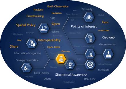
- Spatial Data Infrastructure (SDI) Development
- Geographic Information System Services
- GPS Mapping & Image Processing
- System Design & Integration
- Database Design & Data Integration
- GIS Web Portal Development & 3D GIS
- Environmental Impact Assessment
- Baseline Studies & Physical Planning
- Design of Social Assessment Tools & Techniques
- Geodetic Services and Cadastral Services